With scorching temperatures, very dry conditions, and the high risk of wildfire activity spreading across Arizona, the state has closed five out of its six national forests to all uses, including camping. Campers were required to vacate campsites in the last week of June, just before the closures.
Kartchner Caverns State Park | Benson, AZ – Photo by: Kgolding05
The Apache-Sitgreaves, Coconino, Kaibab, Prescott, and Tonto National Forests are all affected and are expected to be inaccessible for a few weeks. Arizona state-owned land near the fire hotspots closed on June 25. Depending on the area, some lakes, roads, and recreation areas may remain accessible, but, overall, escaping the desert heat for the relative coolness of the mountains and forests of Arizona is currently on hold. Exceptions are being applied only to those who must utilize the forest to access private property.
A statement from the Apache-Sitgreaves National Forests says, “Due to extreme fire danger and historically dry conditions during a time when firefighting resources are stretched thin, the entire Apache-Sitgreaves National Forests will close for public safety.”
Anyone with upcoming plans to visit these national forests should cancel their plans as closures will remain in place until the wildfire danger subsides. “Though parts of the national forest[s] may receive rain from sporadic storms over the next couple of weeks, these closures will not be rescinded until sufficient precipitation is received to adequately reduce the risk of wildfire,” forest officials added.
A June 21 press statement from the USDA Forest Service said, “thinning and other forest and watershed restoration projects will be stopped and any partner agencies, organizations, concessionaires, outfitters, permit holders or contractors are also prohibited from entering.”
The public should note that violating fire restrictions and closures carries a mandatory appearance in federal court, punishable as a Class B misdemeanor with a fine of up to $5,000 for an individual or $10,000 for an organization or up to six months in prison, or both.
Forest Road 687 Dispersed Camping | Tombstone, AZ – Photo by: Road it up
Coronado National Forest, located in the southwest of the state, is the only national forest in Arizona that remains open.
There are multiple fires actively burning throughout the Grand Canyon State, with over 400,000 acres affected. Erratic winds have not helped, and some of the fires are forcing evacuations and road closures. Full closure of a national forest, which is deemed a Stage 3 Forest Closure, means that all public recreation, including camping, hiking, and other activities within forest boundaries is prohibited.
Several communities in Coconino County have been ordered to evacuate due to the Rafael Fire, which started from a dry thunderstorm lightning strike in mid-June and has burned over 40,000 acres to date. The fire is primarily in Prescott National Forest and the northwestern tip of Coconino National Forest.
Powell Springs Campground | Dewey, AZ – Photo by: David7ss
Prescott National Forest is located in the mountains southwest of Flagstaff and north of Phoenix in Yavapai County. Attractions impacted by the forest closure include the Thumb Butte day-use area, Mingus Mountain, and Horsethief Basin Recreation Area. According to the USDA Forest Service’s alert page for Prescott, current exemptions include Lynx and Granite Basin Lakes.
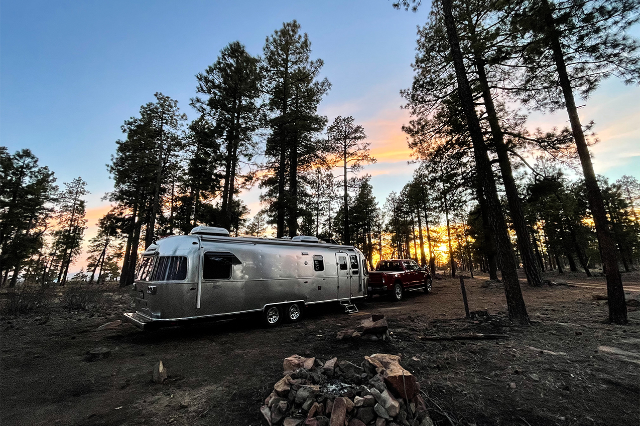
Coffee Creek Dispersed Camping | Cornville, AZ – Photo by: TahoeBound
Popular destinations in the 1.8 million-acre Coconino National Forest, situated south-southeast and north of Flagstaff, include Mormon Lake, Fossil Creek, Humphreys Peak, Devil’s Bridge, and Oak Creek Canyon on the west side of the forest in the Sedona Red Rock area. The closure also includes the Arizona Snowbowl alpine ski resort in the San Franciso Peaks in the northern part of the state.
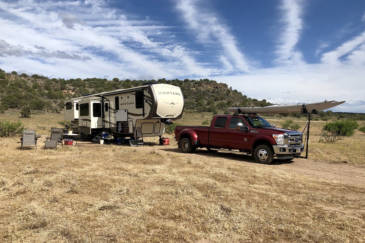
Old Rim Road Dispersed Camping | Payson, AZ – Photo by: The Riveted Road
Southeast of Coconino National Forest in east-central Arizona are the Apache-Sitgreaves National Forests, which covers 2 million acres of mountain country along the Mogollon Rim and the White Mountains. Campers at RV resorts and campgrounds here were forced to leave their campsites due to the wildfires.
Kaibab National Forest, north of Grand Canyon National Park and just south of the Utah border, has a selection of campgrounds, some with Grand Canyon views. The national forest entered a Stage 3 Forest Closure on June 23.
At over 2.9 million acres and the largest national forest in Arizona, Tonto is the seventh-largest in the nation among 154 USDA National Forests. Situated north and east of Phoenix and Mesa, it offers lake beaches and pine trees and ranges in altitude from 1,300 to 7,900 feet. Alerts for Tonto National Forest, along with USDA campfire tips, can be accessed here.
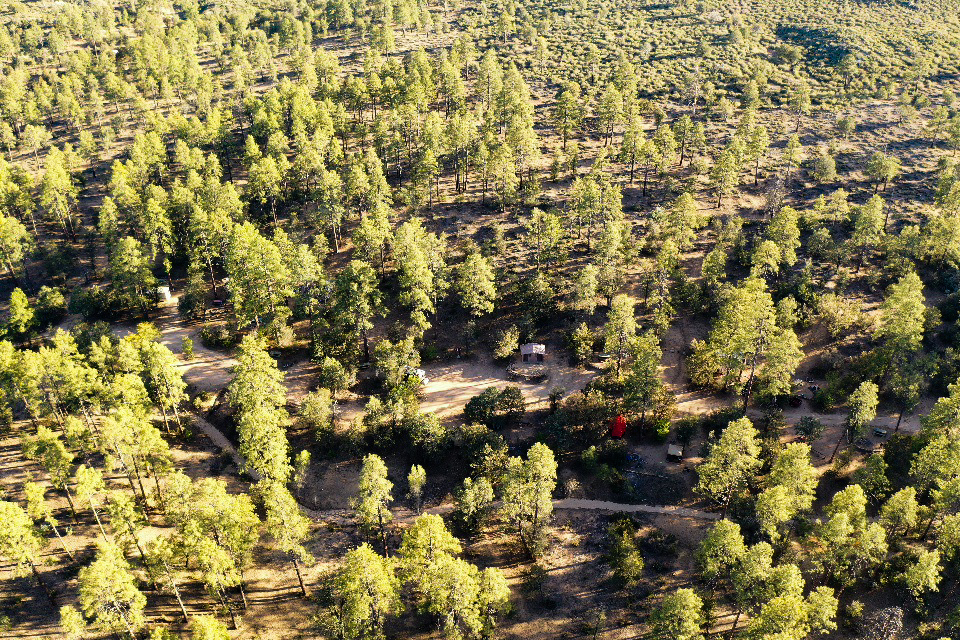
Forest Road 302 Dispersed Camping | Grand Canyon, AZ – Photo by: RoadNoise
According to data from the Arizona Department of Forestry and Fire Management, wildfires in Arizona burned the most acres of land in 2020 than any other year in the past decade, and they are changing the state’s landscape. The state’s fire restrictions are monitored daily on the Arizona Interagency Wildfire Prevention website.
For more information on the wildfires in Arizona visit InciWeb – Incident Information System, a wildfire tracking website operated by the U.S. Forest Service. In addition, the public is encouraged to follow the national forests’ social media accounts for alerts and updates to keep abreast of the wildfire situation and closures.
Arizona National Forests on Social Media
- Apache-Sitgreaves National Forests
- Coconino National Forest
- Coronado National Forest
- Kaibab National Forest
- Prescott National Forest
- Tonto National Forest
When and if camping is finally allowed this summer in Arizona national forests, all campers are encouraged to learn how to build and maintain a responsible campfire and how to safely camp with the risk of wildfires around them.